One main part
A single loop is easier to place than an island chain. You can concentrate on the outside border before learning spacing.
Beginner country outlines
These starting shapes have relatively compact borders, fewer retained parts, or lower geometric complexity in our fixed map dataset. Familiarity still matters, so choose a country you can picture.
Choose a good first shape
An easy first country reduces the number of things you must remember at once. Look for one main land part, a clear width-to-height ratio, and two or three large bends.
A single loop is easier to place than an island chain. You can concentrate on the outside border before learning spacing.
A clearly tall, wide, or balanced silhouette gives you a simple first decision and makes mistakes easier to see.
Three memorable corners or curves are easier to recall than dozens of tiny coastline notches.
Measured starting points
Choose a country you can already picture. Geometric simplicity helps, but a familiar shape can be easier than an unfamiliar country ranked above it.
 Nauru
NauruOne island and nine simplified border points: begin with the broad oval, then adjust its flatter side.
 San Marino
One landlocked shape: place its widest span first, then add the uneven turns around the edge.
 Monaco
A narrow coastal outline: keep its height much smaller than its width before adding bends.
 Vatican
A tiny, single-part outline: draw the overall block first, then refine its few corners.
 Barbados
One island: sketch its longer north–south direction before shaping either side.
 Eswatini
One inland shape: start with the overall width and height, then compare the larger border turns.
 Andorra
A single mountain-border outline: map its main angles before working on smaller notches.
 Saint Lucia
A long island outline: keep the north and south tips aligned, then widen the middle.
 Singapore
One retained main land part in this dataset: establish its horizontal span before refining the coastline.
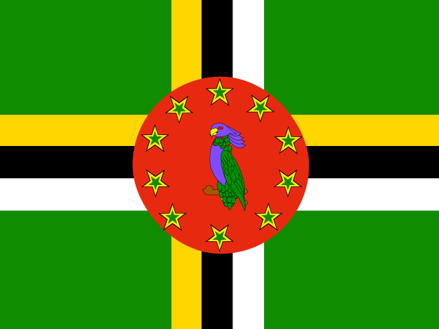 Dominica
An elongated island: place the top and bottom tips first, then compare the two sides.
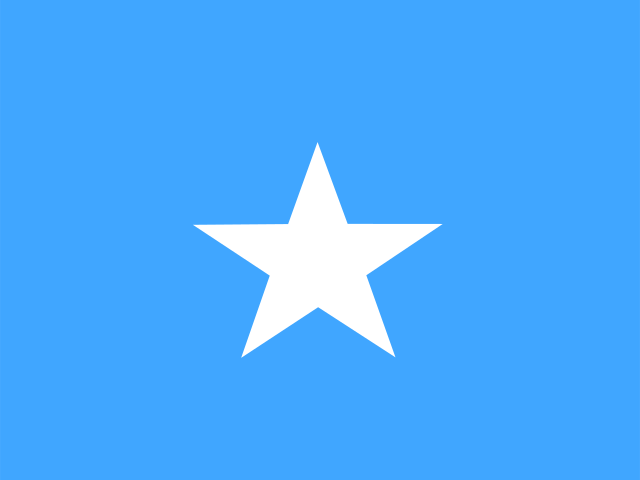 Somalia
Use the long Horn of Africa projection as the anchor; keep the inland side in proportion.
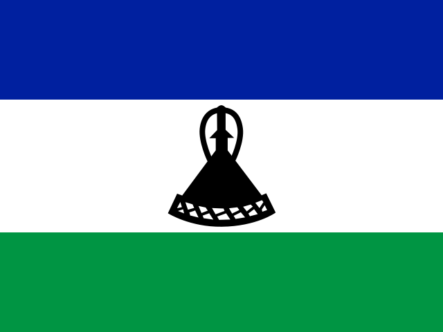 Lesotho
A single inland outline surrounded by South Africa: draw its overall proportions before the many small bends.
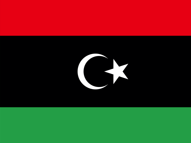 Libya
LibyaA broad mainland outline: set the long Mediterranean edge and overall height before border detail.
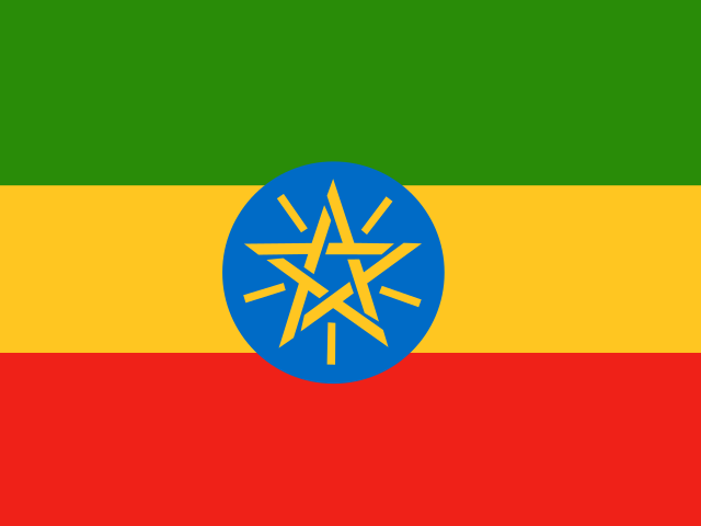 Ethiopia
One mainland shape: identify its widest section and larger angular turns first.
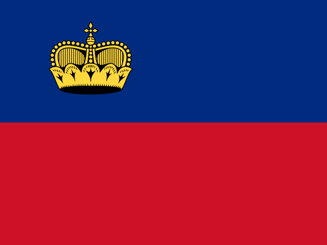 Liechtenstein
A narrow inland outline: keep the long axis clear before adding the border irregularities.
 North Macedonia
A single inland shape: draw the overall silhouette, then inspect where the border bends inward.
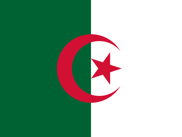 Algeria
A large mainland outline: establish the northern coast and southern reach before small border changes.
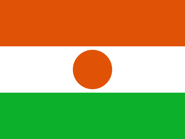 Niger
NigerOne inland shape: use its broad width as the first guide, then place the larger border angles.
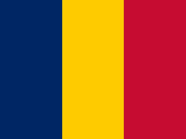 Chad
ChadA tall inland outline: mark its northern and southern extent before adjusting the middle width.
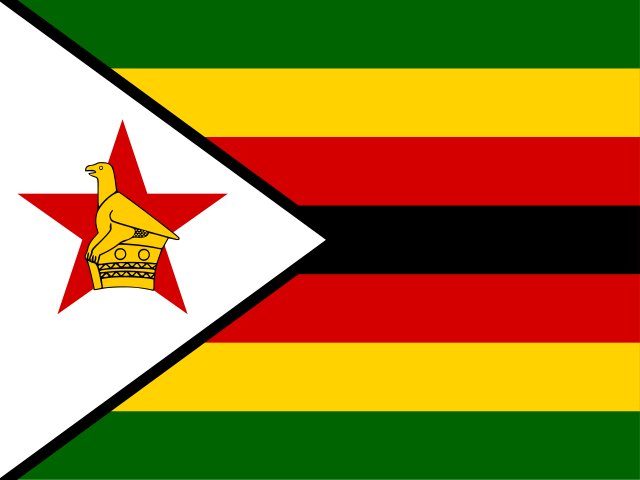 Zimbabwe
One inland shape: sketch the broad body first, then add its sharper corners on a retry.
Your first ten minutes
Switching countries after every score makes it hard to remember what changed. Keep the same country long enough to turn the colored result into one clear correction.
The list sorts the production difficulty score built from simplified vertex count, border-to-area complexity, and retained land-part count. It uses Natural Earth source data pinned to commit ca96624a56bd078437bca8184e78163e5039ad19. It does not use popularity, player scores, or hidden user data, and it may change when the map or formula changes.